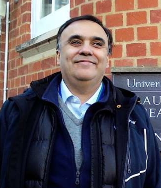
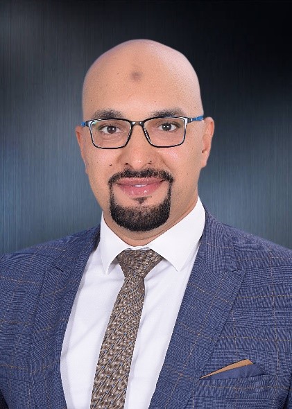
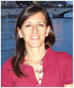
Invited Speakers
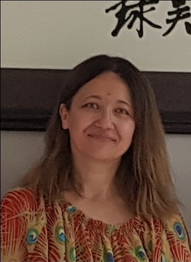
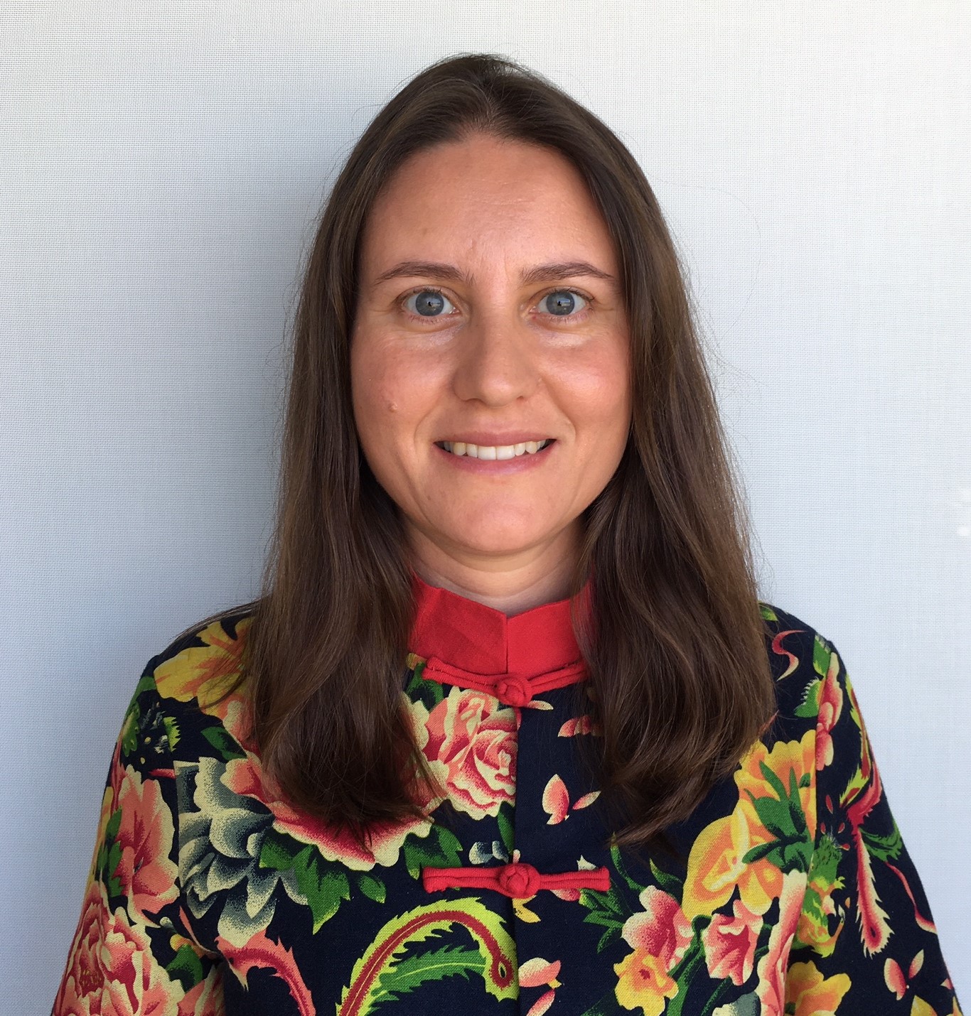
Prof. Gordana Medunić
Department of Geology, Faculty of Science, University of Zagreb, CroatiaSpeech Title: A shallow Mediterranean Raša Bay, polluted by Raša coal mine discharges, needs urgent clean-up measures!
Abstract: Coal extraction causes significant degradation of the environment and human health. This is even more disastrous when coal layers and coal waste are located inside of marine coastal zones. They are commonly impacted by human activities as a large fraction of the global population lives within hundred kilometers of the coast. The problem gets far worse when we talk about the coal which has exceptionally high levels of sulphur (S), selenium (Se), and uranium (U), the environmentally hazardous elements. Such a coal can be found in SW China, but also in Croatia, a Central European country, where it is known under the name of Raša coal. Its layers are located next to the Adriatic Sea. My recent multidisciplinary research, conducted with fellows from various natural sciences, has shown increased levels of S, Se, and U in all environmental domains (soil, water, sediments, home-grown and wild plants, wild animals, etc.). This has been a sound motive for my ongoing survey of the offshore sediment geochemistry. Recently collected sediment core samples have provided us with a sound macroscopic evidence of a massive presence of coal waste there. Considering the fact that the Raša Bay is rather shallow and confined, a proper understanding of the processes occurring there is required in order to predict potentially hazardous effects of constant flows of abandoned Raša coal mine discharges. With time, these impacts will increase. I hope my research shows how emergent the civil and ecological engineering expertizes and actions are in the case of the Raša Bay (North Adriatic, Croatia) as it is a linked component of the whole Earth system.
Assoc. Prof. Durmuş Çağrı YILDIRIM
Department of EconomicsNamık Kemal University
Turkey
Speech Title: The Innovation & Sectoral Carbon Emissions Nexus
Abstract: In all countries, the priority of policymakers is to reduce carbon emissions without reducing economic growth performance. Progress in innovation is one of the main measures that can be used to reduce carbon emissions. It is important to demonstrate the impact of innovation at the sectoral level, in terms of more realistic data on policy measures. The aim of this study is to investigate the effects of innovation on carbon emissions on a sectorial basis for fourteen countries in the G20, for the period between 1991 and 2017. The selected countries are Argentina, Brazil, Canada, France, Germany, India, Indonesia, Japan, Korea, Mexico, South Africa, Turkey, the United Kingdom, and the United States for which data is available. The results show that the Environmental Kuznets Curve (EKC) hypothesis is invalid and, in the long-term, innovations did not have a statistically significant effect on the energy sector, transport sector, and other sectors. It was also found that while an increase in innovation in the industrial sector leads to a reduction in carbon emissions, an increase in innovation in the construction sector increases carbon emissions. Therefore, it can be recommended that, in addition to national policies to reduce CO2 emissions, specific policies should be implemented for each sector separately.
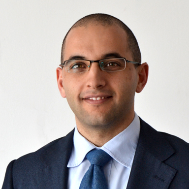
Prof. Sabatino Cuomo
University of Salerno, ItalySpeech Title: Multiphysics Multimaterial Modelling of Landslide-Structure-Interaction
Abstract: The concern of scientists and populations towards landslides has been increasing in the last years because the effects of climate change are evident. Shorter and heavier rainfall events are expected, and frequency will increase as well. Thus, slope stability and potential damage to structures are topical issues. Fortunately, numerical modelling has experienced unprecedented developments in terms of novel formulations (e.g. meshless methods) and computational capability (GPU, parallelization, etc). This is the fundamental reason why Landslide-Structure-Interaction (LSI) is attracting attention. However, new challenges still exist if landslides of the flow-type are considered. This is mostly related to the large deformation scenarios usually associated to the post-failure stage. Once the mechanisms of landslide initiation and propagation have been postulated or already understood, then different alternatives for modelling can be used. Full-3D approaches are still time consuming unless very sophisticated algorithms and powerful computational tools are available. On the other hand, depth-integrated SPH (Smooth Particle Hydrodynamics) modelling is a good compromise to account for irregular slope topography over large areas while renouncing to accurate along-the-vertical variations of soil velocity. In other cases, cross-section 2D MPM (Material Point Method) modelling reproduces the soil-structure interaction in quite general conditions also including different types of soils and materials composing the endangered structures. In the paper, some examples are shown, which depict the state-of-the-art and future perspectives of this topical issue.
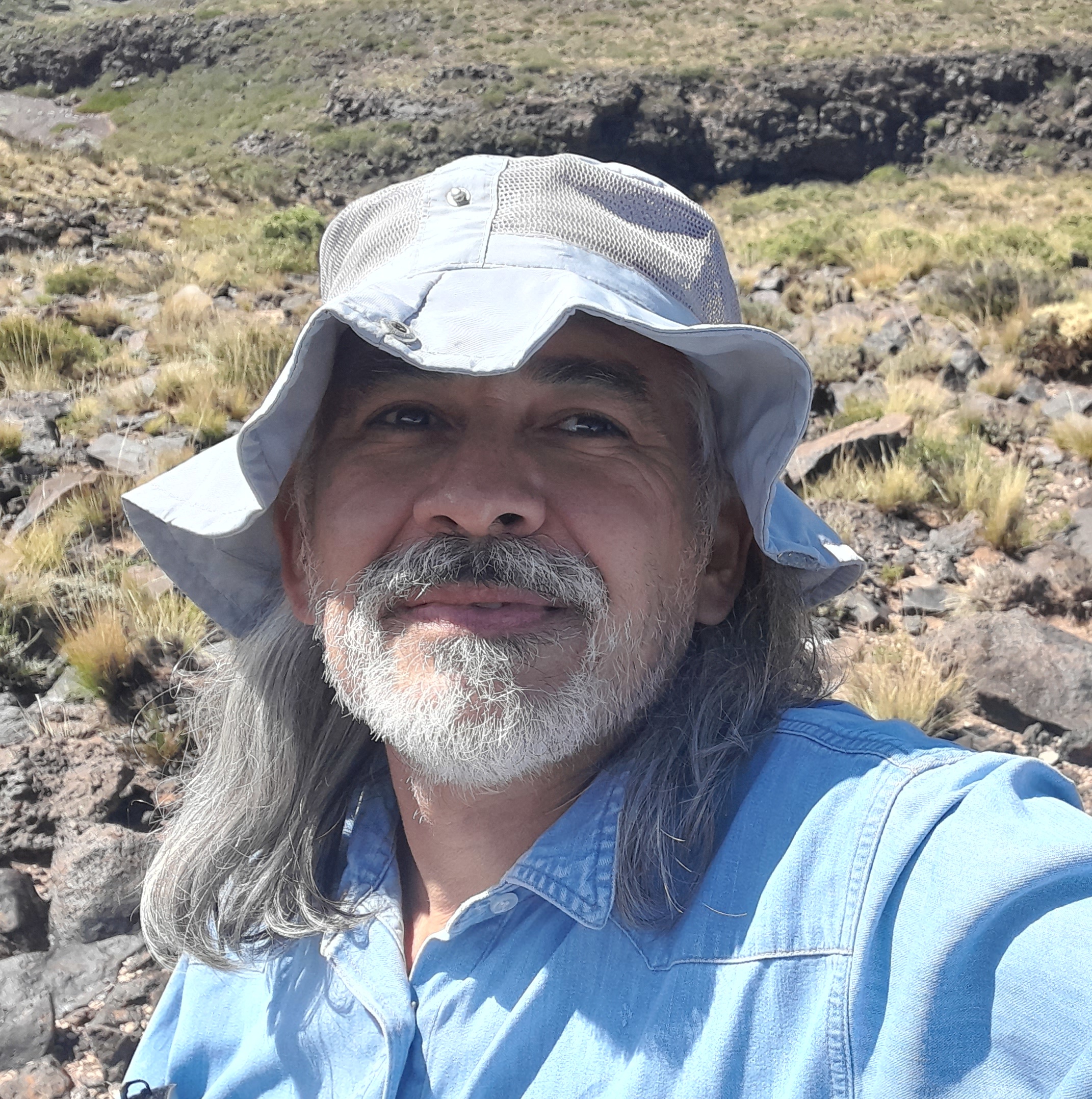
Prof. Dr. Daniel R. Pérez
Laboratory of Rehabilitation and Ecological Restoration of Arid and Semiarid Ecosystems (LARREA)National University of Comahue
CP 8300 Neuquén, Argentina
Speech Title: Direct seeding and outplantings in drylands of Argentinean Patagonia: estimated costs, and prospects for large‐scale restoration and rehabilitation
Abstract: In large areas of the world that are deeply scarred by desertification and hampered by low capacity for natural regeneration, the scaling up of ecological restoration and rehabilitation can be achieved only if it is low in cost with high return on investment, and shows promise of providing long‐lasting social‐economic as well as ecological benefits. In the Monte Austral region of Patagonia Argentina, concerted efforts are underway to facilitate scaling up of ecological restoration and rehabilitation practices. Here, we evaluate financial costs and preliminary results of direct seeding as compared to outplanting of nursery‐grown seedlings of three native species (Atriplex lampa, Senecio subulatus var. subulatus, and Hyalis argentea var. latisquama) considered to be high‐priority dryland framework species. Comparative success is expressed in terms of plant survival and in monetary terms. The candidate species showed low survival rates, ranging from 4.3 to 22.3%, after the first summer following direct seeding. In contrast, survival rates for planted seedlings of the same three taxa varied between 84 and 91%, after the first summer following reintroduction. However, cost of direct seeding varied between 1,693 and 1,772 US$ less per hectare, that is, 64% less than the cost of outplanting nursery seedlings. Therefore, in the search for ways to scale up ecological restoration and rehabilitation in drylands, direct seeding should receive more attention. We discuss the social and ecological perspectives and the way forward for direct seeding techniques. We also consider how costs could be reduced and effectiveness improved in large‐scale efforts.
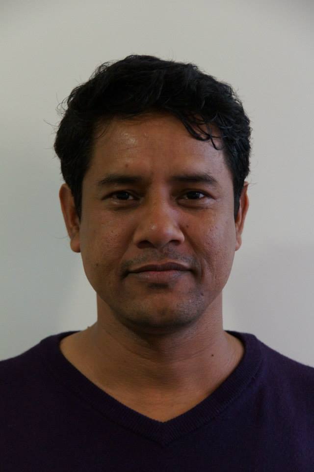
Dr. Ashraf Dewan
School of Earth and Planetary Sciences (EPS)Curtin University
Australia
Speech Title: Lightning hotspots in Bangladesh
Assoc. Prof. Sergio Pena-Neira
Law, VIPs, Public Policy, Society and HealthUniversidad Mayor
Chile
Speech Title: Sharing benefits of Marine Genetic Resources in High Seas for conservation? (In time of Climate Change)
Abstract: The traditional vision among many researcher is that Marine Genetic Resources will generate economic gains based on bio-technological interventions based on the “biodiversity green “rush”. Even, Marine Genetic Resources will be the sources to finance conservation. Today Marine Genetic Resources´ conservation is a benefit, a gain in supporting food production. Therefore, why and how Marine Genetic Resources should be manage by public policy for conserving them in their own ecosystems supported by Civil and Ecological engineering vis a vis current threats from climate change and other global environmental changes?
Due to the current and future problems related to global environmental change a new framework on Marine Governance is needed, particularly institutional (including not only policy but law, ecology, environmental science, and other disciplines). This new framework shall be based on new insights and contributions from human beings to nature, particularly but not exclusively, biodiversity. As well, this contribution can be from Civil and Ecological engineering, some suggestions will be included. Further, with large economic recovery after Covid19, economic growth, the pressure on ecosystem will increase. Benefits are key in this endeavor, conservation is a benefit.
Keywords: Public Policy, Marine Governance, Marine Genetic Resources, Active Conservation
Dr. Ahmed Mohamed Hassan El-kasaby
Researcher in Geomorphology and Geomatics,Ministry of Education
Kuwait
Speech Title: Potential impact of sea level rise on the geomorphology of Kuwait state coastline
Abstract: Sea level rise (SLR) is one of the most severe risks threatening coastal zones all over the world. In Kuwait, coastal areas accommodate about 90% of the total population and most of the urban area. Thus, SLR is expected to have significant impacts on Kuwaiti coastal areas, which may lead to changes in their ecosystems and the geomorphological units in the coastal area. This paper aims to assess the impacts of SLR on the geomorphology of the Kuwaiti coastline under two different scenarios of SLR: an integrated analysis model involving a variety of methods and a composite vulnerability index integrating five criteria. The results revealed that about 58% of the total coastal area is susceptible to inundation under 1- and 2-m SLR scenario, whereas 8.3% of Kuwaiti coastal areas have moderate to high vulnerability levels. Moreover, it was found that SLR may have significant implications for some Kuwaiti coastal areas including expanding sabkhas areas, shoreline retreat, changing coastal hydrodynamics, and erosion patterns and accelerated weathering process. To avoid such potential impacts, it is essential to develop a national strategy for adaptation to SLR impact and mainstreaming adaptation into development plans.
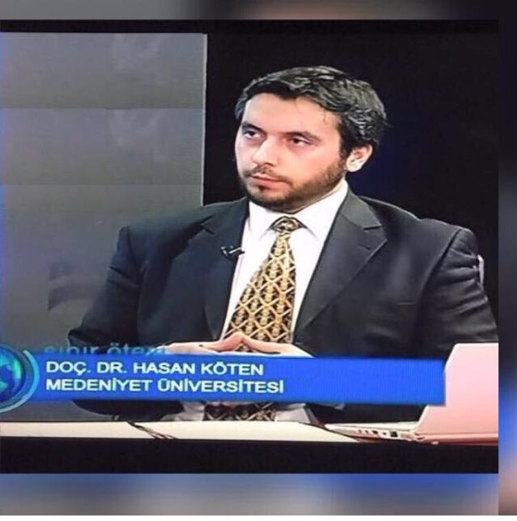
Assoc. Prof. Hasan KÖTEN
Head of Mechanical Engineering DepartmentIstanbul Medeniyet University
Engineering Faculty Mechanical Engineering Department
Turkey
Speech Title: Hydrogen effects on the diesel engine performance and emissions
Prof. Valentina Lentini
Faculty of Engineering and ArchitectureUniversity Kore of Enna
Italy
Speech Title: Dynamic characterization of soils by laboratory testing for seismic risk assessment
Abstract: Thematic maps, such as seismic risk maps, are a useful tool that researchers use for representing the adverse outcomes that a natural catastrophic event can have over the territory. Generally, in those studies, major attention is focused in urban areas, where the human activities are concentrated. Main concerns are about the existing building stock, mostly composed by structures not compliant with modern seismic design criteria. The realization of a risk map is a complex task that involves the combination of data coming from different field of expertise, such as geology, geotechnical and structural engineering.
The paper describes how the application of prospecting and surveying techniques (geological surveys, drilling, down-hole, MASW) allowed a decisive improvement in the geological knowledge of the area, contributing to define the subsoil model for the purposes of seismic microzonation. The interpretation of geophysical and geotechnical data and their correlation with geological units are explained and finally the microzonatic map is presented. The paper also reports the seismic geotechnical characterization executed with laboratory tests including the resonant column and cyclic torsional shear test on undisturbed samples. The results are summarized in terms of variation of stiffness and damping with shear strain. Finally, the use of wireless sensor technology for structural monitoring has significant benefits when the time available for access is often severely limited, by representing an effective way of managing risks once that an area of concern has been identified. The aim of the study is the acquisition of a local knowledge on issues related to seismic risk that may affect urban areas, through the acquisition, management and sharing of complex information. The available information, collected by sensor network, have been combined together in a Geographical Information System tool. The results provide a reliable representation of the seismic risk at urban scale to be used when planning the mitigation measures to be undertaken in order to improve the prevention and reduction of the disastrous effects of the earthquakes.
Keywords: Seismic risk, Web-GIS platform, Monitoring, Sensor network
Dr. Cristina Calheiros
Interdisciplinary Centre of Marine and Environmental Research (CIIMAR)University of Porto
Portugal
Speech Title: Constructed Wetlands for wastewater management: a collaborative project
Abstract: Constructed wetlands are treatment systems that intent to mimic natural processes that occur in wetlands in order to promote water treatment. Nowadays they are considered nature-based solutions that provide several ecosystem services, much of them related with climate change mitigation and adaption. They have been applied to different water typologies and as secondary treatment, polishing and even diffuse contamination mitigation. The present study provides a holistic approach of the application and functioning of constructed wetlands applied to a tourism house in rural context, in order to promote and boost a circular resources flow. It will be highlighted the collaborative work between institutions.
Assoc. Prof. Juan Camilo Restrepo L.
Physics and Geosciences DepartmentUniversidad del Norte
Barranquilla - Colombia
Speech Title: Recent hydrological changes in northern South America: magnitude and influences of macro-climatic phenomena
Assoc. Prof. Rolando Orense
Department of Civil & Environmental EngineeringUniversity of Auckland
Auckland, New Zealand
Speech Title: Liquefaction of crushable volcanic sands: From laboratory behavior to field assessment
Abstract: Crushable volcanic soils, such as pumice sands, originating from previous eruptions are deposited in various parts of the world, such as in the central part of North Island, New Zealand. Since they are often encountered in engineering projects, their geotechnical characterization is very important. Due to the highly crushable nature of the pumice sand components, there are concerns on the applicability of current empirical correlations, derived primarily from hard-grained sands, to evaluate the liquefaction potential of pumice-rich soils. To understand their liquefaction characteristics and dynamic properties, high-quality soil samples are obtained from various pumice-rich sites in the North Island using diverse sampling techniques. The samples are tested in the laboratory using cyclic triaxial apparatus and bender elements. Moreover, the pumice content of each sample is quantified using a recently developed technique that correlates the degree of particle crushing of the samples to the amount of pumice particles present. The laboratory results clearly show that the liquefaction behavior of pumice-rich soils is different from that observed in normal (hard-grained) sands. From the results obtained, a chart relating the shear wave velocity to the liquefaction resistance are developed as a function of the pumice content.
Assoc. Prof. Dragana Vujović
Department of MeteorologyFaculty of Physics
University of Belgrade
Serbia
Speech Title: Air pollution and clouds: an impact of cloud dynamic and microphysics on sulphate distribution and deposition
Abstract: Sulphur dioxide is classified as very toxic for humans inhaled it. When it dissolved in cloud droplets or rain drops, a sulphurous acid forms. The acid rains formed on that way have a large impact on the environment by changing the soil, river and lakes composition. Therefore, clouds and precipitation influence tropospheric chemistry on several ways: cloud droplets provide an aqueous environment for aqueous–phase chemical reactions, wet deposition is an important sink for many tropospheric chemical species, and strong vertical motions in convective clouds (especially in Cumulonimbus) can transport species very fast from boundary layer to the free troposphere. The role of the convective clouds in transporting and vertically redistributing trace gases is very important and currently not accurately represented in the models of pollution transport. Some reasons for these uncertainties are reactivity of trace gases and complexity in microphysical processes that take place in the clouds. The most significant emitted quantities of sulphur dioxide in Serbia come from thermal power plants from the energy sector, the mineral industry, animal and plant products from the food sector and from the production and processing of metals. An emission of sulphur dioxide and other air pollutants makes a significant environmental problem, especially during cold part of year when meteorological conditions are favourable for air pollution. These conditions encompass anticyclones situations with frequent temperature inversions and heavy fogs (anticyclone, cold, humid weather type which is most frequent in urban core of Belgrade, Serbia). In the light of increased number of world population that lives in the cities, and theirs expressed vulnerability to air pollution health effects this represents important objective to study. To accomplish this, we used chemistry module with the aqueous chemistry that we have developed and coupled with a complex 3D non-hydrostatic atmospheric model. This was used to make 3D simulations of a deep convective cloud which crosses over the chimney of the thermal power plant and analysis how it affects the plume from the chimney. These simulations are state-of-the-art in including realistic topography, high spatial resolution, several aqueous phase chemical reactions, and tracking of solute concentrations in different hydrometeor types. On that way we are able to make the most detailed analysis of time–dependent partitioning of SO2 emitted from thermal power plant stack among the gas phase, different hydrometeors, and precipitation. The results from this research may encourage more ecological solutions, leading to short- and long-term air-quality improvements. The concentration of S(IV) in cloud water and rainwater is calculated by detailed mass transfer approach that does not require gas–liquid equilibrium as Henry’s law does. The oxidation of dissolved SO2 with hydrogen peroxide, which is considered the most effective oxidant in clouds, is taken into account as the most important chemical transformation in cloud water. The sulphates formed on that way is than scavenged by Brownian diffusion, inertial impaction with rain drops, hail, and snow. Microphysical transfers include processes of evaporation, autoconversion, accretion, deposition, riming, melting, and sublimation.
Keywords: Cumulonimbus cloud, sulphate uptake, sulphate emission, convective sulphate redistribution
List of speakers will be updated soon...

